Juan Bautista de Anza National Historic Trail
The Anza Trail traces the route the Spanish expedition followed when establishing the Presidio.
The Juan Bautista de Anza Trail commemorates the 1776 journey Spanish military commander de Anza led from Sonora, Mexico to the Golden Gate, where settlers first established the Presidio.
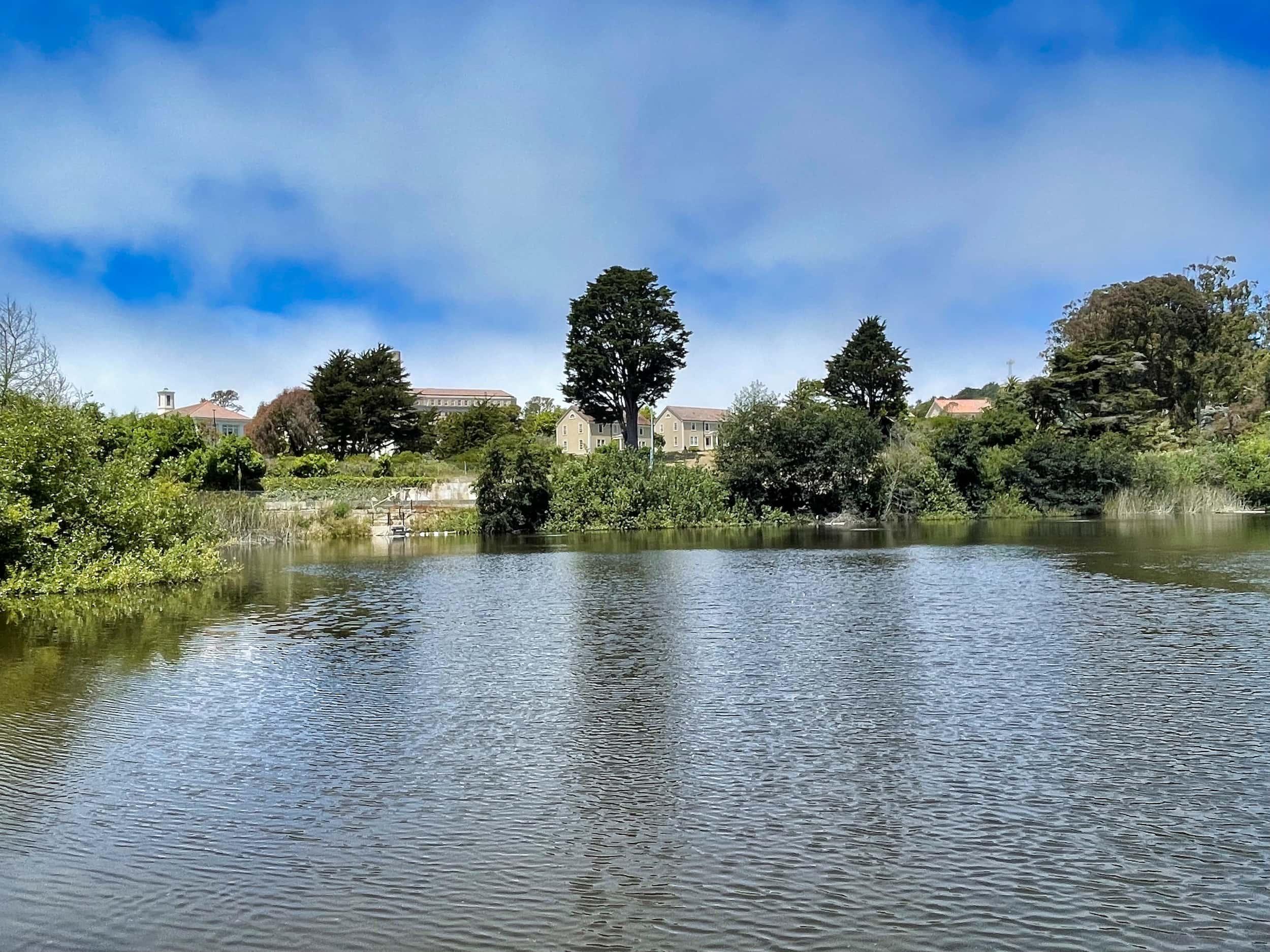
While the entire trail is 1,200 miles long, the 2.7-mile Presidio section follows the route de Anza and his expedition travelled from their original campsite at Mountain Lake to the Golden Gate.
After exploring the lake, head north to experience some of the Presidio’s most beautiful natural areas and many historic attractions, including the World War II West Coast Memorial and historic gun batteries.
The trail has passes by four vista points – the Lobos Valley Overlook, Immigrant Point Overlook, Pacific Overlook, and Golden Gate Overlook.
At the north end, it reaches the Golden Gate Bridge, offering amazing views.
Presidio Trails Tip
Restrooms are located at Mountain Lake and near the Golden Gate Bridge Welcome Center. The Immigrant Point Overlook picnic area (across Lincoln Boulevard from the overlook) is a great place to pause if you packed snacks.
2.7 miles (4.3 kilometers)
Moderate
Mix of dirt, pavement and boardwalk.
60 minutes
Getting to the Juan Bautista de Anza National Historic Trail
Juan Bautista de Anza National Historic Trail
Trailheads
At the south end, pick up the trail at Mountain Lake. At the north end, begin at the Golden Gate Bridge.
Parking & Public Transit
At the south end, the closest parking can be found along Wedemeyer Street near Lobos Valley Overlook. At the north end, there are various lots near the Golden Gate Bridge. To get to the Presidio by bus or shuttle, visit the Public Transit page.
TAGS
Places Along The Trail
Connecting Trails
Mountain Lake Trail
This popular nature trail stars San Francisco’s last surviving natural lake – and a whole lot more.
Park Trail
Experience views, nature, and history on this tranquil trail through the middle of the Presidio.
Lobos Creek Valley Trail
Experience San Francisco’s native dune habitat on this short but beautiful nature trail.
